Widespread Winter Storm Warnings as U.S. Braces for Heavy Snow and Dangerous Travel Conditions
A powerful winter system spreads heavy snowfall and extreme cold across multiple U.S. regions, prompting widespread storm warnings.
Meteorologists warn of dangerous conditions as a powerful winter system delivers heavy snowfall, freezing temperatures, and widespread disruption across multiple U.S. regions.
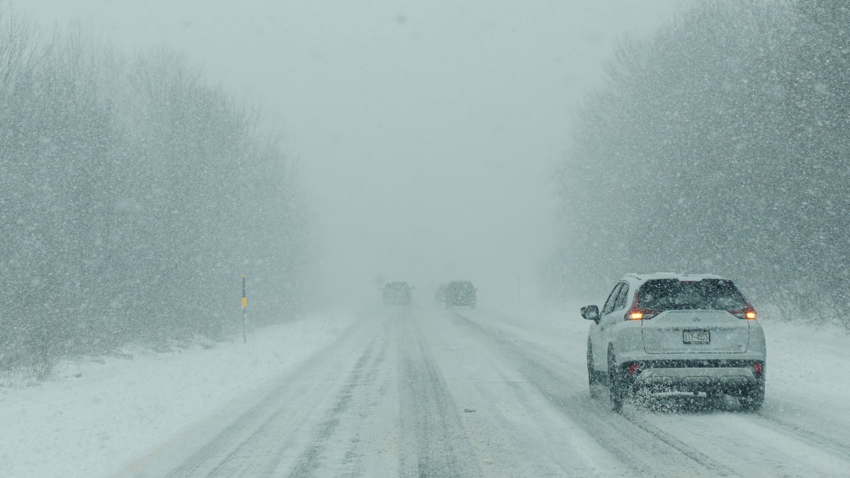
A sweeping winter weather system has placed large portions of the United States under winter storm warnings, marking one of the most significant cold-season events of the period. The alerts, issued by meteorological authorities, signal the likelihood of heavy snowfall, dangerous road conditions, and bitter cold affecting millions of residents from the Northern Plains to the Midwest and into parts of the Northeast.
The first warnings were issued as forecasts began showing a strong interaction between arctic air moving southward and moisture-rich systems tracking eastward. This combination created ideal conditions for widespread snow development, prompting officials to escalate alerts from advisories to full winter storm warnings across several states. Such warnings are reserved for situations where winter weather is expected to significantly impact daily life, particularly transportation and public safety.
As the system intensified, snowfall projections grew steadily. Early estimates suggested moderate accumulations, but updated models indicated that many areas could see snow totals ranging from six to fifteen inches, with some localized regions facing even higher amounts. In elevated terrain and snow-favored corridors, forecasters warned that accumulations could approach or exceed two feet, especially where persistent snow bands set up for extended periods.
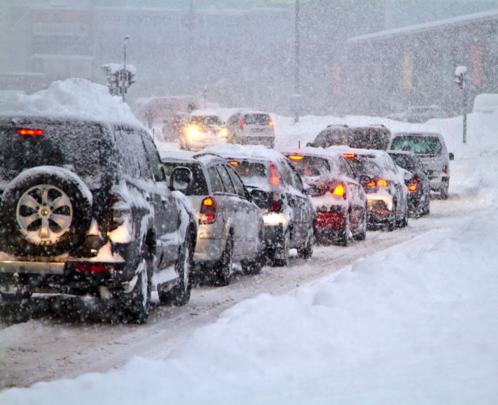
The Midwest emerged as one of the most heavily affected regions. States across this zone experienced rapidly deteriorating travel conditions as snowfall rates increased and temperatures dropped well below freezing. Roads that were initially wet quickly became slick, and visibility fell sharply during heavier snow bursts. Transportation agencies reported slower traffic, spin-outs, and delays as crews worked to keep highways passable.
In addition to snowfall, the storm introduced a wave of extreme cold. Temperatures plunged into the single digits and below zero in several northern states, amplifying the danger posed by blowing snow and ice formation. Wind chills made outdoor exposure hazardous, leading officials to issue additional cold-related advisories alongside winter storm warnings.
As the storm progressed eastward, its reach expanded. Portions of the Great Lakes region and the Northeast began reporting accumulating snow as lake-enhanced snowfall added intensity to the system. In these areas, localized snow bands caused sharp differences in accumulation over short distances, making forecasting and response more challenging.
Authorities consistently urged residents to avoid unnecessary travel during the peak of the storm. Emergency management agencies emphasized the risks of becoming stranded in freezing conditions and advised drivers to carry winter survival kits if travel could not be postponed. Airlines also monitored the situation closely, with delays and cancellations reported at several major airports.
Winter storm watches remained in effect for additional areas on the storm’s periphery, signaling the potential for further expansion or intensification. These watches served as advance notice for communities that had not yet been impacted but were likely to experience significant winter weather as the system continued to evolve.
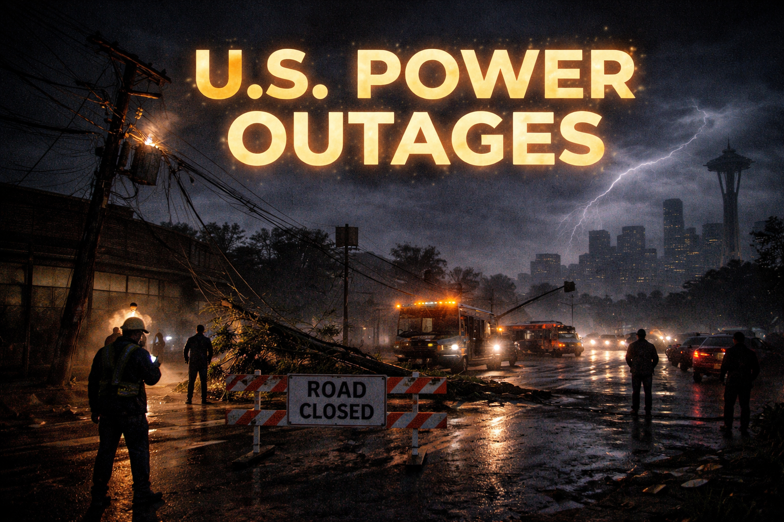
Infrastructure concerns also grew as the storm lingered. Heavy snow placed strain on power lines and trees, raising the risk of localized outages. In some regions, the combination of snow and wind created near-blizzard conditions, further complicating response efforts.
Despite the challenges, officials noted that early warnings helped improve readiness. Many residents stocked up on essentials, adjusted travel plans, and followed safety guidance issued by local authorities. Schools and public offices in several areas announced closures or remote operations to reduce risk during the worst conditions.
As of the most recent updates, snowfall continued in parts of the central and eastern United States, though the system showed signs of gradually shifting eastward. Forecasters cautioned that lingering snowpack and refreezing overnight temperatures would continue to pose hazards beyond the storm’s peak.
Meteorologists warned that winter was far from over. The current storm highlights a broader pattern of volatile winter weather, with additional systems possible in the coming weeks. Officials encouraged residents to remain alert, stay informed through local forecasts, and maintain winter preparedness supplies.
The ongoing winter storm has underscored the disruptive power of large-scale cold-season weather events. With extensive winter storm warnings issued, significant snowfall recorded, and dangerous cold gripping multiple regions, authorities continue to monitor conditions closely as recovery efforts begin in some areas and warnings persist in others.
By Ekolense International Desk


Comments